


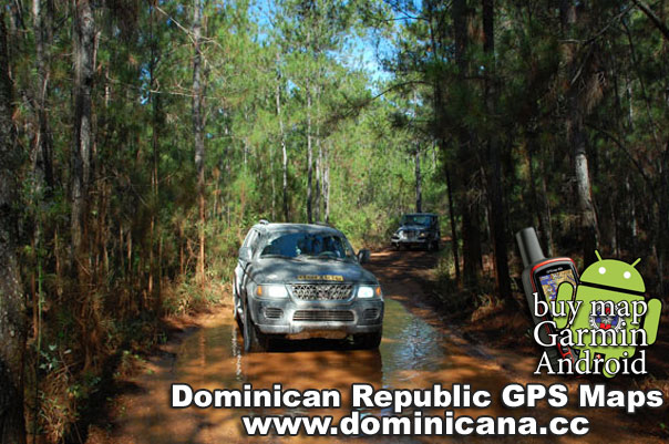
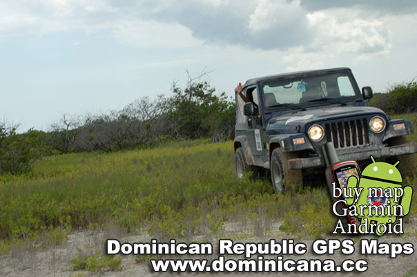
Road quality: Asphalt route of varying bumpiness.
Points on our Garmin Dominican Maps detailed with cities:
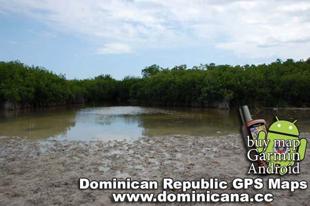
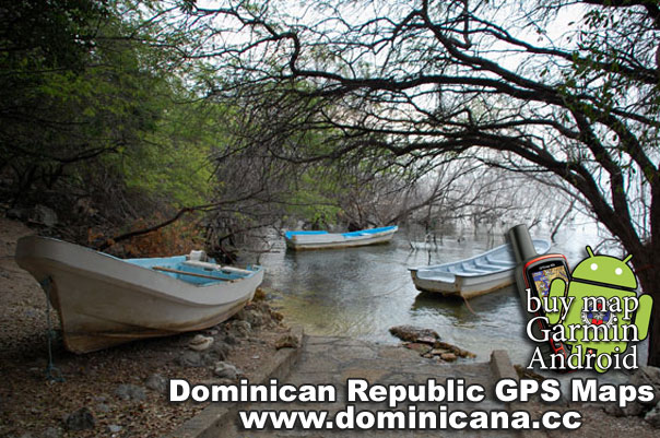
National Park – the entrance to the National Park, where you can hire a boat to reach the island
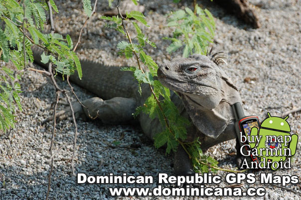
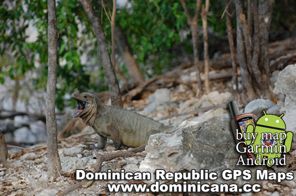
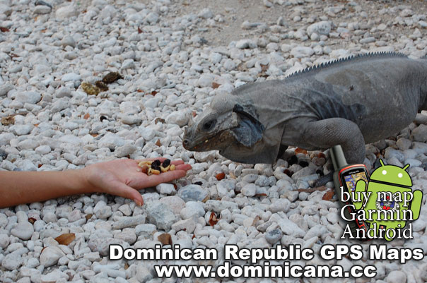
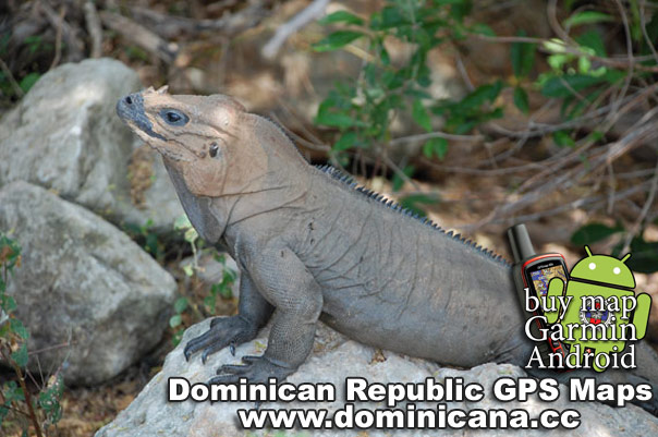
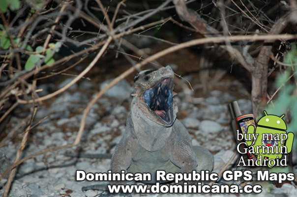
Isla Cabritos – an island inhabited by iguanas.
Kamping Place – a wonderful place on the seacost, where you can cook barbecue
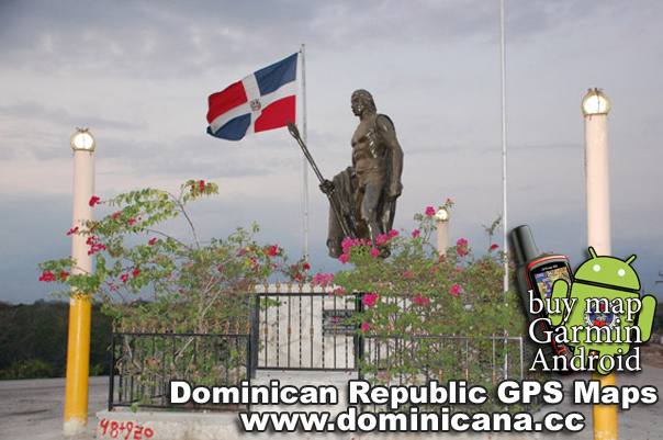
Guarocuya Hotel – a hotel in Barahona, the first line; reasonably priced and decent enough
Description:
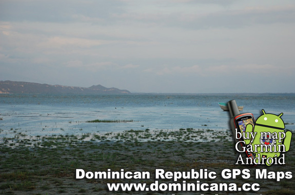
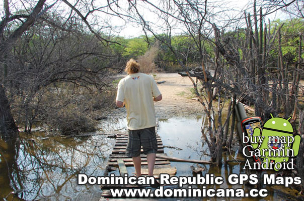
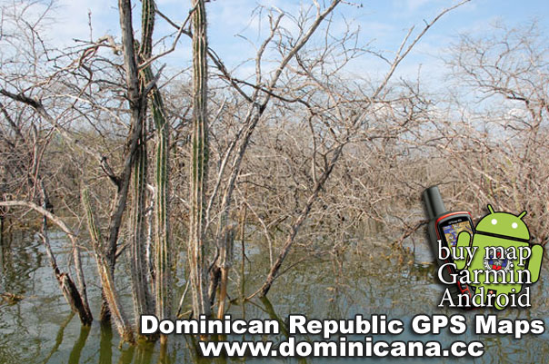
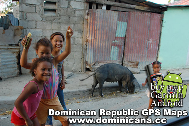
When leaving Barahona, you will see a part of the remaining railroad. It was formerly employed by the passenger train service; now, it is only used to transport cane to a near sugar mill. The track presents one of the two routes between Barahona and the lake with crocodiles and iguanas. This region belongs to the National Park. Two iguana species, Iguana Rinoceronte and Iguana Ricordi, naturally inhabit this place. Therewith, the latter is endemic and entered into the International Red Book as an endangered species (less than 2,000 animals remain in nature). You may see iguanas as early as you approach the lake along the road. Moreover, there are special signs “Caution! Iguanas crossing the road!” The iguanas avoid people, since the natives hunt them for food or because of the superstition that they are dangerous for the livestock. Though, within the National Park iguanas are protected; you will see totally different iguanas, as they come to people in hope of treat. There, the tourists and the Park employees entertain them with fruit (sometimes they simply feed out of hand). Though, there you can see Rhinoceros Iguanas only. To meet the Iguanas Ricordi, you will need a boat to get to Isla Cabritos, an island in the center of the lake (the boat costs 3,500 pesos, i.e. almost 100 dollars; it can transport up to 15 passengers). The length of the isle is 12 km, the width is 3 km. The area of the Lago Enrikillo amounts to 400 sq.m.; the lake is 40 m below sea level. The water salinity is threefold as that of seawater. If you depart by boat early in the morning (at 6-7 a.m.), it is much more likely that you will see the crocodiles. That is why we recommend you to arrange the excursion with the guides beforehand, by phone. Since if you come out of the blue, you will meet with the guides not earlier than at 9 a.m., when it is much harder to see the crocodiles. Again, even if you have departed early in the morning, it is not so easy to see them, as there are about 400 crocodiles in the huge lake. Still you are sure to see the iguanas. Beside the familiar Rhinoceros Iguanas, Iguana Ricordi also live on the island. They are featured by red eyes, a high spinal comb and a thorned tail. Unlike the Rhinoceros Iguanas, they are not recommended to be hand-fed. Beside the iguanas, the guides will show you many cacti (there are more than 10 species), iguana holes and even a brood nest of wild bees. After the excursion you may stop by a small cafeteria in the Descubierta Town, to refresh yourself. Actually it is not a cafeteria, but an outdoor hearth, where they serve the typical Dominican meals: chicken, rice, vegetables. So, you can have a snack before the way back. On the map, we have marked a seashore spot near Barahona, where you can cook barbecue on open fire. Though there are some restaurants in Barahona too, we never neglect an opportunity to have a rest and a snack outside.
What should you take with you?
Money, binocular glasses (to see the crocodiles better), fruit and nuts (to treat the iguanas), a photo- and a video camera, an insect repellent.
Guides’ phone numbers:
809 816 7441 (English, French)
809 880 0871 (Cap)
829 930 0141 (Guide Association)
If you need Dominican Republic GPS Maps with all roads, point and cities, please visit our page. We have Android app offline with Dominican Republic Maps and Garmin Dominican GPS maps too.
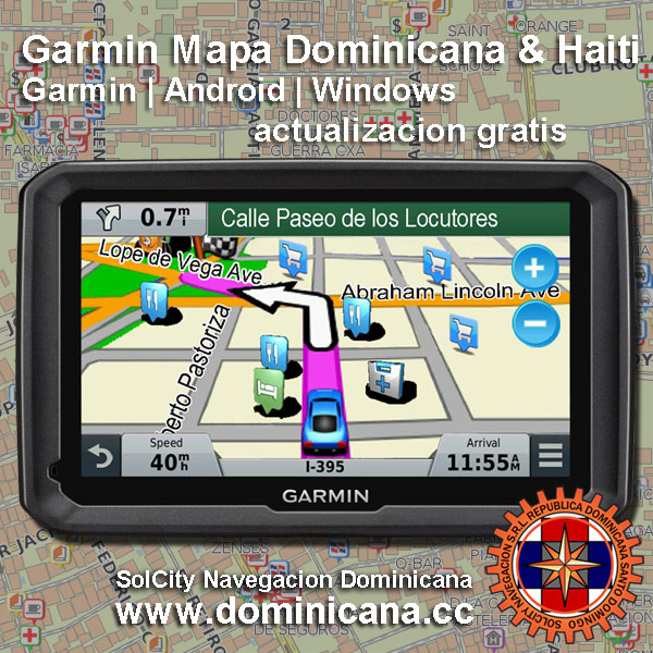
Also you can buy a full detailed GPS Dominican Garmin map with all cities.