


Hello, guys!
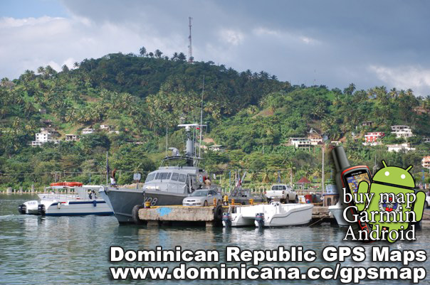
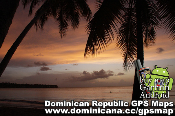
Today I want to show you photos from different places on peninsula Samana (Dominican Republic). This is one of the most remarkable, mysterious and delightful places in Dominican Republic. Santa Barbara de Samana – the oldest regional center founded in 1756 for protection of piracy invasions.
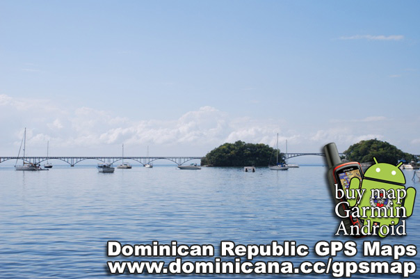
The road to Trujillo`s (dominican dictator) former villa, constructed on a island opposite to the port of Samana.
Near of Samana there is a National Park Los Haitises which involves set of tourists with the tropical beauty. The ecosystem with too many wild islands, flying pelicans and virgin nature makes this place unforgettable.
This park is famous for it`s mysterious indian caves, with a lot of petroglyphic pictures. You can see different bat species in each cave.
Also you can take a cayak to ride between mangroves, or take a swim in a blue water.
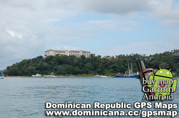
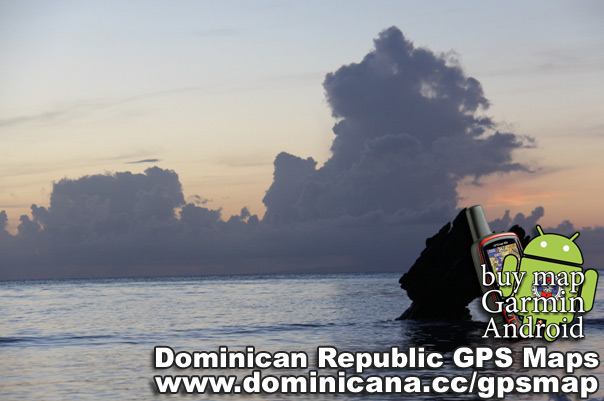
It is possible to visit and remarkable Caribbean treasure – small island under name Cayo Levantado – present paradise for the tourists adoring diving and snorkeling.
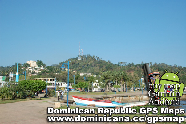
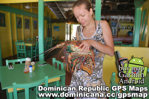
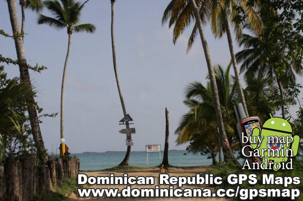
There are many small cities on the peninsula Samana. One of them – Las Terrenas which has devoted all life to service of tourists, is especially interesting. Restaurants with fresh fish, bars, discos with sexy latin music, beaches and hotels – you can spend your time in a crazy dominican rhythm.
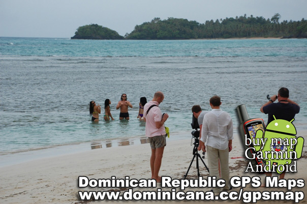
Peninsula Samana with it`s fantastic view is very convenient for filming.
Besides all the entertainments, in this small city there are many touristic guides, whom will organize any excursions, researching peninsula Samana and will show the most undercover corners, for example, some virgin uninhabited beaches like Coson or Playa Jackson.
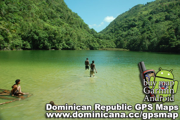
Near Las Terrenas, if you go in a direction to Samana you will see “El Limon” waterfall. Big, 30 meters height, with charming lagoon emerald color.
UESFULL TIP: If it`s raining in Las Terrenas – it`s better wait the water in El Limon be clear, only a few days.
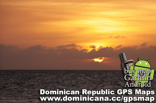
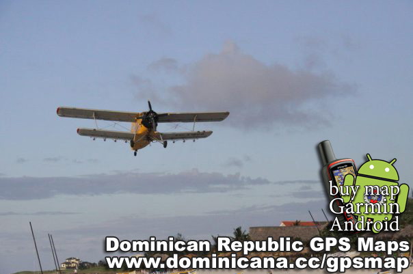
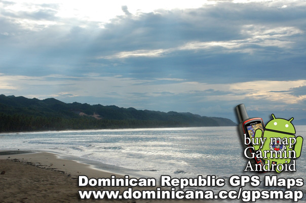
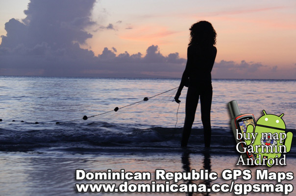
El Portillo Beach is located near the same name Airport, used for local flights. One or two kitesurf school can be found there. Walk around this beach, so cute it is at sunset.
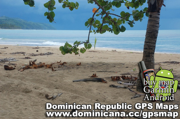
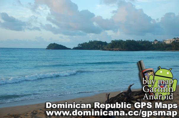
Also, should be expressive for you the beaches: Payuela, Playa Las Galleras and Los Tocones.
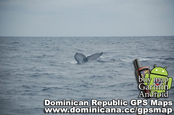
Samana is also known by the humpbacked whales coming from Arctic waters with their love games (from January till March). They swim up to give a life to their progeny.
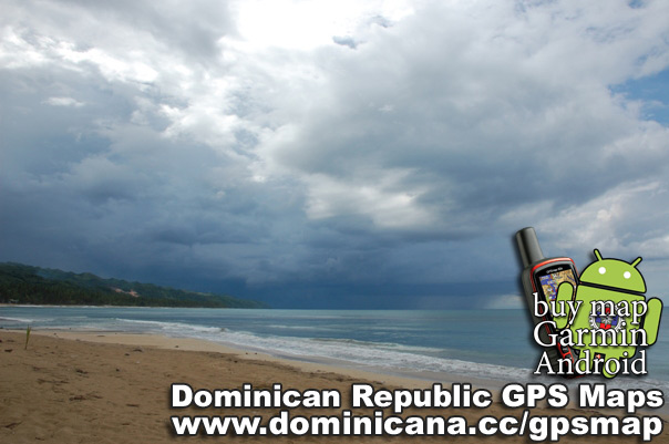
If you want to download free Dominican GPS Map – check this link. We also have maps for Garmin and Android GPS Dominican Maps.